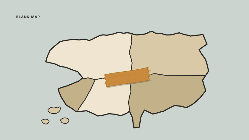
Countries and Capitals: Why Map Cards Beat Name Cards
The quiz hands you a shape or a spot on a map, so the card should too. How to build map occlusion cards for countries and capitals, and when a name list still wins.
If you are trying to memorize countries and capitals, the single change that does the most work is to stop making cards that read "Capital of Kyrgyzstan?" and start making cards where the front is a map with Kyrgyzstan shaded and its label covered. Almost every test of this material, from a grade 9 unit quiz to a Sporcle map to the moment someone points at a news graphic, hands you a shape or a position and asks for a name. A text-only card trains you to answer a question you will not be asked.
A little about me: I am a third year engineering science student at the University of Toronto, machine intelligence stream. I also work on Nebulearn, which has image occlusion built in, so treat that as a conflict of interest for the rest of this post. The argument below is about card shape, and it works in any app that can hide part of a picture.
The cue you get is not the cue you practiced
Retrieval is a lock and key. When you study "Kyrgyzstan goes with Bishkek," the key you file away is the written word Kyrgyzstan. On the quiz the key you are handed is an outline wedged between Kazakhstan and China. Those are different keys, and memory is fussy about that. This is the encoding specificity idea: what you can retrieve depends on the cue that is present, not just on how well you "know" the fact.
I noticed this the boring way. I could rattle off capitals for most of Central Asia off a written list and still could not put Turkmenistan on a blank map with any confidence. The pairs were solid. The link from shape to name did not exist, because I had never once practiced it.
The gap runs the other way too, with names you know perfectly well. Ask yourself where Paraguay is and the answer probably arrives as "somewhere in the middle of South America" rather than as an outline with specific neighbours. That vagueness survives hundreds of reviews of a name list, because the list never asks.
This is the same failure I wrote about in the context-free test, where cards get learned as a sequence instead of as content. Here the borrowed crutch is not the previous card, it is the alphabet: your deck taught you a word pair and quietly skipped the geography.
The card shape that matches: occlusion over a blank map
So the fix is not a better mnemonic. It is a card whose front looks like the thing you will be shown. That card is image occlusion: one map image, with masks over the labels, and each mask is its own card.
Here is the build for one region, concretely. Take a plain political map of Central Asia. Five countries: Kazakhstan, Uzbekistan, Turkmenistan, Kyrgyzstan, Tajikistan. Add one mask over each country name, and one mask over each capital label: Astana, Tashkent, Ashgabat, Bishkek, Dushanbe. That is ten cards from one image, and every single front is a position.
Two details matter more than they look like they should.
Draw the masks as plain rectangles, a bit bigger than the text. If you trace a mask tightly around a country's border, the mask itself becomes the answer, and you have made a card about the shape of a grey blob. I have done this and scored beautifully on cards I would have failed on paper.
Keep country and capital as separate masks, not one box covering both. They are two facts with two different difficulty curves, and separating them is the whole point of the one idea per card rule. Uzbekistan's outline may stick in a week while Tashkent versus Ashgabat keeps flipping for a month. Separate cards let the scheduler hammer the weak one and leave the other alone.
One limit is worth naming before you go build 200 masks. Image occlusion is the right tool when position is the actual data, which is exactly the case for political geography. It is the wrong tool when the picture is logic wearing a diagram costume, which is why I argued against it for circuit and process diagrams. Countries are arbitrary. There is no reason Bishkek is where it is that you could reason your way to. Brute spatial memory is the correct target.
The neighbour problem: order of introduction decides whether this works
Map cards have a dependency that name cards do not, and ignoring it is how people end up with a deck full of cards they never learn.
You do not store a country's position in absolute coordinates. You store it relative to something you already know. Uzbekistan is learnable as "the one wrapped around the middle, touching all four of the others" only once Kazakhstan and Afghanistan are already solid. If you introduce all five at once, none of them has an anchor, and your brain files five interchangeable beige polygons.
So the order you add cards is part of the method. Anchors first, then fill inward.
| Pass | What you add | Why this order |
|---|---|---|
| 1 | The huge and the obvious: Russia, China, India, Brazil, the US, Australia | These become the reference frame for everything else |
| 2 | One region's big neighbours, coast first | Coastlines and big borders are the landmarks you will navigate from |
| 3 | The interior countries of that region | Now definable by who they touch |
| 4 | Capitals for the countries whose shapes already stick | A capital with no anchored country is two unknowns in one card |
The practical consequence is that you should work one region at a time and finish it, rather than doing a global shuffle. Ten new cards from one map, then nothing new until those are landing. This is the same discipline as keeping new and due cards in a sane ratio, except geography punishes you harder for breaking it, because an unanchored card does not get easier with repetition. It just keeps coming back.
Capitals deserve their own ordering note. The ones that actually cost you marks are the pairs where the famous city is not the capital. Naypyidaw and not Yangon. Abuja and not Lagos. Dodoma and not Dar es Salaam. Yamoussoukro and not Abidjan. Canberra and not Sydney. Ankara and not Istanbul. Bern and not Zurich. Astana and not Almaty. Bolivia is a genuine two-answer case, with Sucre as the constitutional capital and La Paz as the seat of government, and the Netherlands is the same shape of problem with Amsterdam and The Hague. Pull those into a small deliberate batch. They are the cards that decide your score, and a card that just says "Nigeria" invites you to answer Lagos forever.
When map cards break, and what to do instead
The method has three failure cases that show up within the first month, so it is worth knowing them before they read as personal failure.
One map means you learn one map. If every card comes from the same image, you start recognising the crop. The mountain shading, the position of the legend, the exact pixel where your mask sits. That is the pixel-memorisation trap that also wrecks image occlusion decks in biology. The fix is cheap: once a region is mostly learned, make a second small set of cards from a different map, ideally a different projection or a zoom level you have not used. Four or five cards is enough to force the memory off the picture and onto the geography.
Small countries have no usable position at world scale. You cannot occlude a label over a two pixel island. The Caribbean, the Pacific, the Gulf states and the European microstates all hit this. Here the text card is not a compromise, it is the correct shape, because there is no spatial cue on offer. Group them as list cards by neighbourhood: the Lesser Antilles as a set, the Gulf states as a set. Learn the group as a group, and use a zoomed inset map if your syllabus really does want individual positions.
Some countries will not stick no matter what. Every map deck grows a handful of leeches, and in geography they are almost always countries with no strong anchor or a near twin. Slovakia and Slovenia. Guinea and Guinea-Bissau. Niger and Nigeria. If a card has failed eight or ten times, stop reviewing it and rewrite it instead: make a card that explicitly contrasts the pair rather than asking about either one alone. If that fails too, drop it and move on and pick it up after the rest of the region is stable.
None of these break the argument. They narrow it. Position is the cue for anything big enough to point at, and the exceptions get a different card shape rather than a different method.
If your class really does test name to name
Some courses genuinely do not show you a map. A unit test with a two column table, country on the left and a blank on the right, is a name-to-name test, and pretending otherwise to defend map cards would be silly.
If that is your situation, you need name to name in both directions: country to capital, and capital to country. Reverse cards matter more than people expect, because the matching sections and the "which country is Ljubljana in" questions run the other way. Add both and let the scheduler sort out which direction is weak.
I will also say out loud that Quizlet is very good at this specific job. Twenty pairs, a shared set someone in your class already made, matching and Learn on a Friday before a Monday quiz. That is Quizlet's home turf and I would not talk anyone out of it. The thing to know is what it is not: a sitting that ends in mastery is not the same as a per-card due calendar, so it holds up for one quiz and starts leaking by the final. And if you want to grind a map deck on a plane or on a subway with no signal, Anki is local-first and wins that outright.
My own compromise, when a class tested written pairs, was to keep the map deck as the base layer anyway and add the name-to-name pair only for the countries on the syllabus. The map cards are what made the names stop feeling interchangeable. The text cards were the exam format on top. If you only have time for one, and you have a map test coming, build the map cards. If you only have time for one and your test is a table, build the pairs, then come back for the map when the course is over and you want to actually keep this.
What this means for the tool you use
The practical bottleneck for map cards is not the studying, it is getting a real map out of your browser and into a card without an export dance. You are already looking at one, usually in a tab, and the gap between that and a card with masks on it is where most people quit and go back to typing a list.
That specific gap is the part of Nebulearn I would point a geography student at. The Chrome extension snips anything on the page straight into a card, so a map on a Wikipedia page becomes card material without leaving the tab, and image occlusion then lets you put one mask per label and get one card per mask. Scheduling is FSRS by default, which matters here because your Tajikistan card and your Dushanbe card really will diverge. The free tier holds 1,000 saved questions and 40 weekly AI credits, which is more than enough room for the whole world at two cards per country. It is worth saying that there is no offline mode, so the plane scenario above stays Anki's.
The argument of this whole page is that the cue decides the card. You will be given a shape and a position, so put a shape and a position on the front, add them in an order where each new country has a neighbour you already know, and keep name pairs for the small islands and the classes that ask for them. That is the deck I wish I had built first instead of a 193 line list.
Read next: how to write flashcards that stick and encoding diagrams effectively.